Deforestation report
Duncan Golicher
2/19/2019
+
−
CartoDB.Positron
CartoDB.DarkMatter
OpenStreetMap
Esri.WorldImagery
OpenTopoMap
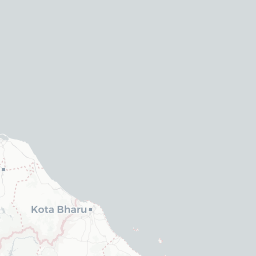
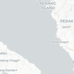
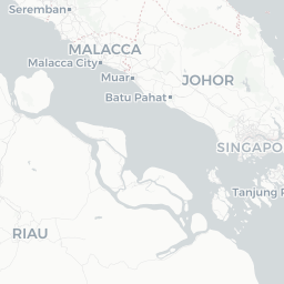
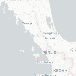
eco - eco_name
wdpa - name
Forest 2000
Forest loss
Population
All fires
Zoom full
100 km
50 mi
wdpa - name
eco - eco_name
Leaflet
| ©
OpenStreetMap
©
CartoDB
Changes to forested area 2000 to 2016
Copy
CSV
Show
10
25
50
100
entries
Search:
cut
Year
percent
area
1
No forest
2000
16.17
17046
2
No forest
2016
41.46
43689
3
25 to 50
2000
2.33
2451
4
25 to 50
2016
2.05
2160
5
50 to 75
2000
7.1
7479
6
50 to 75
2016
5.58
5876
7
75 to 100
2000
74.4
78408
8
75 to 100
2016
50.92
53659
Showing 1 to 8 of 8 entries
Previous
1
Next
Forest loss
Copy
CSV
Show
10
25
50
100
entries
Search:
year
percent
area
1
2001
1.48
1565
2
2002
1.53
1617
3
2003
0.7
739
4
2004
1.32
1388
5
2005
1.51
1595
6
2006
1.22
1283
7
2007
1.44
1521
8
2008
1.07
1129
9
2009
1.99
2096
10
2010
1.67
1763
Showing 1 to 10 of 17 entries
Previous
1
2
Next